Smartphone Apps and Free Tools for Real-Time Wildfire & Smoke Monitoring
Stay ahead of disaster in 2026 with the most accurate, real-time wildfire tracking and smoke monitoring apps available for rural landowners.
Smartphone Apps and Free Tools for Real-Time Wildfire & Smoke Monitoring
![]()
If you live in a rural area, early warning is the difference between an orderly evacuation of livestock and a catastrophic loss. In the past, landowners relied on the evening news or hearing distant sirens to realize a wildfire was approaching. By 2026, relying on passive information is dangerously outdated.
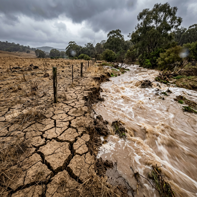
Modern wildfires driven by extreme drought and high winds can cover miles in a matter of minutes. Fortunately, the technology available to civilians has advanced massively. Utilizing data from highly sensitive geostationary weather satellites (like the GOES network), thermal imaging algorithms, and crowdsourced emergency dispatch scanners, you can now have military-grade situational awareness right in your pocket.
Whether you are deciding if it is safe to conduct a prescribed burn on your property, calculating the air quality for outdoor agricultural labor, or preparing a middle-of-the-night evacuation drill, you must install these free and low-cost digital tools on your smartphone immediately.
1. The Undisputed King of Wildfire Tracking: Watch Duty
If you only download one app, it must be Watch Duty. Originally launched by a nonprofit group of developers and former wildland firefighters in Northern California, Watch Duty has expanded its coverage to become the absolute gold standard for real-time fire intelligence across the American West and beyond.
Why It Excels
- Human Curation, Not Just Bots: While other apps just show an automated red dot from a satellite (which can be delayed or inaccurate), Watch Duty employs actual human dispatchers who listen to live emergency radio traffic. When a fire is reported, they immediately notify users via a push alert, providing the exact location, the wind speed, the rate of spread, and what resources (like airdrop tankers) are responding.
- Push Alerts Based on Geography: You drop a pin on your property, and the app will wake you up in the middle of the night if a fire starts within a customized radius (e.g., 20 miles).
- Evacuation Orders: It seamlessly integrates official county evacuation warnings and mandatory orders directly onto the map in real-time.
- Cost: Free, with an optional low-cost premium tier to support the nonprofit.
2. Advanced Topographical & Wind Mapping: CalTopo / SARTopo
For the technically inclined landowner who wants to understand exactly how a fire might move across their specific terrain, CalTopo is an incredibly powerful, professional-grade mapping platform. It is widely used by Search and Rescue (SAR) teams and Hotshot crews.
Key Tools for the Landowner
- Live Satellite Thermal Detections: CalTopo imports raw VIIRS and MODIS thermal satellite data. You can see the exact "heat footprint" of a large, active fire updated every few hours. This allows you to track if the flaming front has jumped a ridge or a river near your property.
- Wind Plotting: Fire is entirely driven by wind and terrain. CalTopo allows you to overlay high-resolution, localized NOAA wind forecasts (showing direction and speed via moving arrows) directly over the topographic map of your property. If a fire starts 5 miles away, you can instantly see if the wind forecast will push it directly into the valley that leads to your farm.
3. Smoke and Air Quality Forecasting
Sometimes the fire is 100 miles away, but the smoke impacts your ability to work outside safely or threatens the health of sensitive livestock (especially horses).
1. The EPA's AirNow App
The official government app for tracking the Air Quality Index (AQI). It pulls data from thousands of ground-level sensors across the country. It is excellent for checking the current air quality before starting a strenuous day of chainsaw work.
2. PurpleAir
The AQI reading from AirNow might be pulled from a sensor located at an airport 30 miles away, which isn't helpful if smoke is pooling in your specific rural valley. PurpleAir is a crowdsourced network of incredibly accurate, privately-owned laser air quality sensors. You can view the live, interactive map online and likely find a sensor installed by a neighbor just down the road for hyper-local readings.
3. HRRR Smoke Model (via Weather/Aviation Apps)
If you want to know if smoke is going to roll in tomorrow, you need predictive models. The High-Resolution Rapid Refresh (HRRR) Smoke model, developed by NOAA, simulates the spread of smoke over the next 48 hours. Websites like windy.com or specialized weather apps allow you to view these forecasts, visually showing dense plumes of smoke moving across the map over time.
4. Prescribed Burn Safety: Establishing the "Go/No-Go"
If you conduct your own prescribed burns for pasture management, you are legally liable if that fire escapes. Relying on your smartphone's basic weather app (which updates hourly) is reckless.
You need a handheld physical tool to verify the microclimate on the ground before lighting a drip torch: the Kestrel Fire Weather Meter.
- While not a smartphone app, this pocket-sized, spinning turbine anemometer connects to your phone via Bluetooth.
- It instantly reads the exact wind speed, temperature, and Relative Humidity (RH) at your exact location.
- If the RH is below your state's minimum safety threshold, or the wind gusts are 5 mph above the forecast, the Kestrel provides the hard data you need to make the critical "No-Go" decision.
5. Summary and Next Steps
Information is your greatest asset in a wildfire emergency. Relying solely on a knock on the door from a sheriff's deputy to evacuate means you have already lost precious hours. By utilizing real-time dispatch apps like Watch Duty and monitoring thermal satellite data on CalTopo, you gain critical lead time to load trailers, enact defensible space protocols, or evacuate safely.
Action Steps:
- Download Watch Duty today. Create an account and set up specific alert zones centering on your property and your common driving routes.
- Bookmark the PurpleAir map on your computer or phone to check hyper-local air quality during hazy summer days.
- Sign up for your specific County Emergency Management's reverse 9-1-1 text, call, and email alert system. An app is a tool, not a replacement for official county orders.
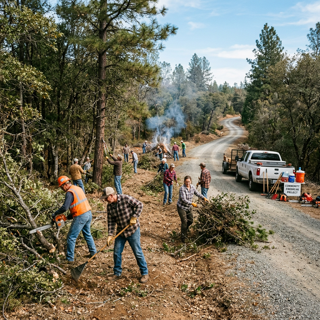
For the physical steps required to protect your home once the warnings sound, explore our guide on Creating a Firewise Community Around Your Property.
Sources & Further Reading
- Watch Duty (Nonprofit Wildfire Mapping): watchduty.org
- CalTopo (Professional Mapping Tools): caltopo.com
- AirNow (Official EPA Air Quality Index): airnow.gov
- NOAA HRRR Smoke Forecasts: rapidrefresh.noaa.gov
Written by Tom Miller, Sustainable Living Expert at LandHelp.info. Tom specializes in off-grid disaster resilience, teaching rural landowners how to leverage modern, austere technologies to protect their homesteads from extreme weather events.
Tags:
Tom Miller
Sustainable Living Expert